This blog is written by Hayden Scott-Pratt, an archaeology student from the University of Bournemouth (UK), about his experience working with the CONCH project. His work consisted of GEOPHYSICAL SURVEYANCE, a very important step in archaeological works carried out frequently in Europe and Britain.
********************************************
HAYDEN SCOTT-PRATT: UNIVERSITY OF BOURNEMOUTH, UK
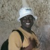
My name is Hayden and I was lucky enough to be invited on the CONCH project (Co-production Networks for Community Heritage in Tanzania) in July this summer.
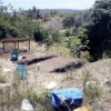
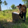
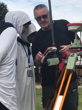
As part of this project with the Universities of York, Cambridge and Uppsala, myself and Professor Kate Welham from Bournemouth University conducted a series of geophysical surveys inside and outside the town of Pangani to try to identify buried archaeology relating to early phases of settlement activity.
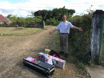
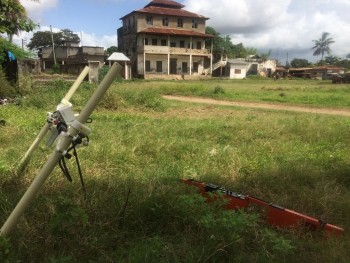
Conducting geophysical surveying means you walk around with some very ‘Sci-Fi’ and unusual looking equipment, so our main audience at work where the local children. They who would crowd around or just sit nearby in the shade (often giggling) while we walked to and fro over their football pitches, roasting in the sun!
Although the geophysical surveying didn’t indicate any buildings there were some areas which were very interesting and could contain archaeology and which I hope are investigated further by the team. One of the biggest problems we have is that small pieces of metal can stop the geophysical equipment from seeing the archaeology underneath the ground and this is a very common problem when working in any town and city.
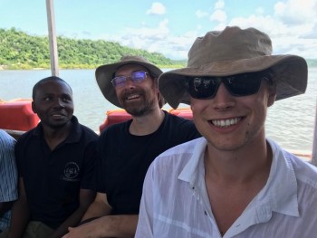
The CONCH project allowed the team to meet and converse with the Archaeology and Heritage Department faculty staff members and students at the Uuniversity of Dar Es Salaam as well as staff from the Department of Antiquities, providing opportunities to discuss and debate the effect of archaeology conservation on local communities, as well as how best to utilise archaeology to support the people of Pangani.
This was one of the most rewarding and directly involved research projects I have ever been on and I hope the project continues long into the future.